Bridging Geospatial Technology & Web Solutions
Cartocode integrates cartography, GIS mapping, drone surveying, and web development into one innovative platform for modern businesses.
Our Services
Comprehensive geospatial and web development solutions tailored to your needs
Cartography & Map Design
Professional cartographic services with custom map design, spatial visualization, and interactive mapping solutions.
- Custom Map Creation
- Thematic Mapping
- Interactive Web Maps
Drone Mapping & Survey
Advanced aerial surveying using drone technology for accurate mapping, monitoring, and data collection.
- Aerial Photography
- 3D Modeling
- Topographic Surveys
GIS Analysis
Comprehensive Geographic Information Systems analysis and consulting for data-driven decision making.
- Spatial Analysis
- Data Management
- GIS Consulting
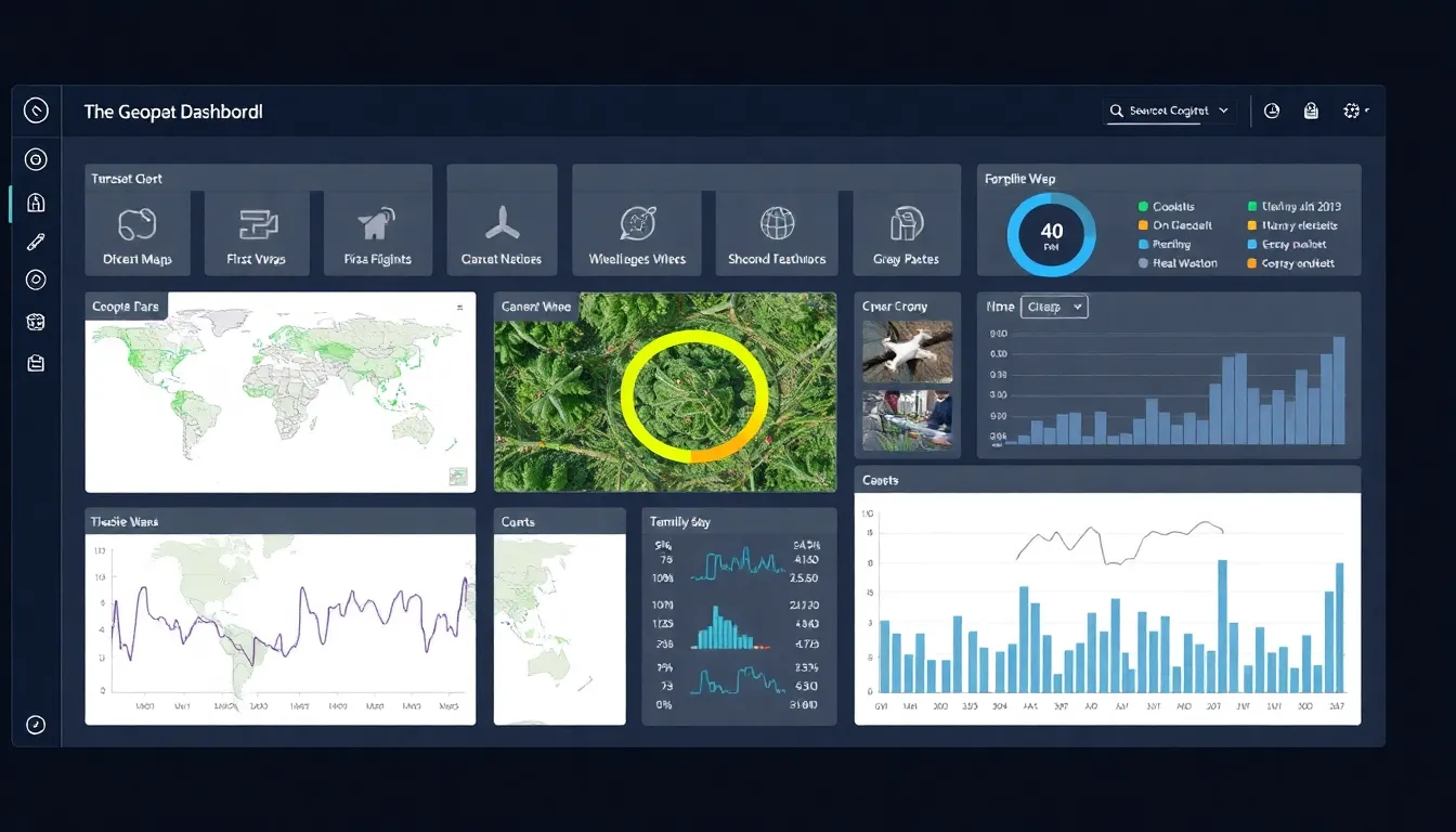
Web Development
Custom web applications and geospatial web solutions that bring your mapping data to life online.
- Web Applications
- API Development
- Dashboard Creation
Featured Projects
Showcasing our expertise in geospatial technology and web development
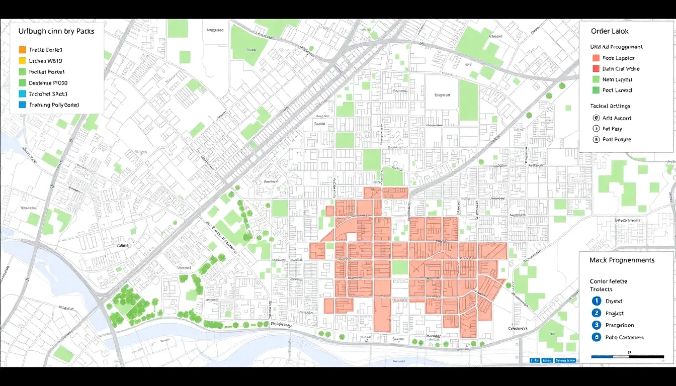
Urban Planning Dashboard
Interactive web application for city planners with zoning analysis and development tracking.
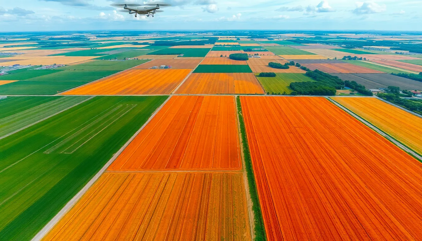
Agricultural Survey
Comprehensive drone mapping for precision agriculture and crop monitoring across 500+ acres.
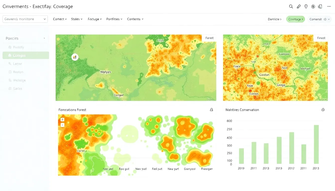
Environmental Monitoring
Real-time environmental data visualization platform for conservation organizations.
About Cartocode
Founded on the vision of bridging traditional cartography with cutting-edge technology, Cartocode represents the evolution of geospatial services. We combine decades of mapping expertise with modern web development and drone technology.
Our mission is to make geospatial data accessible, actionable, and visually compelling for businesses, organizations, and communities worldwide.
Precision
Accurate data collection and analysis for informed decision-making.
Innovation
Cutting-edge technology integrated with proven methodologies.
Collaboration
Working closely with clients to deliver tailored solutions.
Impact
Creating solutions that make a positive difference in communities.

Ready to Transform Your Geospatial Needs?
Let's discuss how Cartocode can provide custom mapping and web solutions for your organization.
Get In Touch
Ready to start your next geospatial project? Contact us for a consultation.
Contact Information
cartocode@gmail.com
Phone
+234 (810) 053 8012
Office
Akure
Ondo State, Nigeria